
What we do
Our services

GNSS Surveying
GNSS stands for Global Navigation Satellite System, and is the standard generic term for satellite navigation systems that provide autonomous geo-spatial positioning with global coverage. The advantage to having access to multiple satellites is accuracy, redundancy and availability at all times.
By combining leading edge technology with a deep understanding of surveyors' workflows, data integration and maintenance across the lifecycle of projects, we provide increased productivity and improved workflows for field data collection with enhanced collaboration capabilities between the field and office.
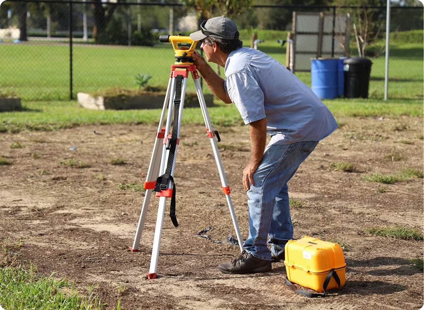
Topological Surveys
Topographic surveys are used to map and identify the terrain features of a land area. They accurately account for any existing objects on or near the surface, such as buildings, streets, manholes, walkways, retaining walls, utility poles, and trees and identify differences in elevation, which are marked on the survey by contour lines. Contour lines detail where the terrain meets a specific elevation value on any given site, and can be interpreted to show where there are depressions and rises in the ground.
Topographic surveys are typically carried out when an area is being assessed for new construction or the addition of new development. The survey is invaluable for showing what the land looks like now, and how it will impact design and construction. This is relevant for all kinds of projects such as road improvements, new housing, complex construction, major highway construction, grading, bridge erection, septic system installations, and drainage projects – to name a few.
Perhaps one of the most important functions of a topographic survey is to identify areas where construction may not be possible or where grading will be required in order to make it possible. A topographic survey provides architects and builders with all of the information they need to determine how the land will have to be shaped and molded to provide a suitable base for the planned construction. After the initial project is complete, a topographic survey can also be used as the basis for a variety of subsequent plans and designs. For these reasons, it is crucial that a topographic survey is carried out by professional land surveyors who have the knowledge, tools and training to do it right. An accurate and detailed initial topographic survey will help ensure that the project is completed without costly or time-consuming surprises.
While topographic surveys are mostly used for construction and development projects, they can also be used for many other applications, such as environmental reclamation projects. Topographic surveys and the information they provide about elevation and terrain features can help in the accurate and successful reconstruction of a given landscape and be instrumental in returning it to a natural state.

GIS Mapping
GIS (Geographic Information Systems) is computerized cartography, which is used to create, edit, store and retrieve, update, manipulate and display geographically referenced digital data. Through the use of a GIS, common mapping features such as roadways and water mains can be linked with associated tabular attributes and viewed graphically on a map. Rather than seeing just a few key features on a static map, GIS mapping allows you to view customizable combinations of data layers in a dynamic tool.
GIS mapping helps visualize and identify patterns that are difficult to see if the data elements are in table format. It also helps to identify patterns that emerge when you view two or more datasets together.